Energy Innovation Park
A 1740+ Acre Site

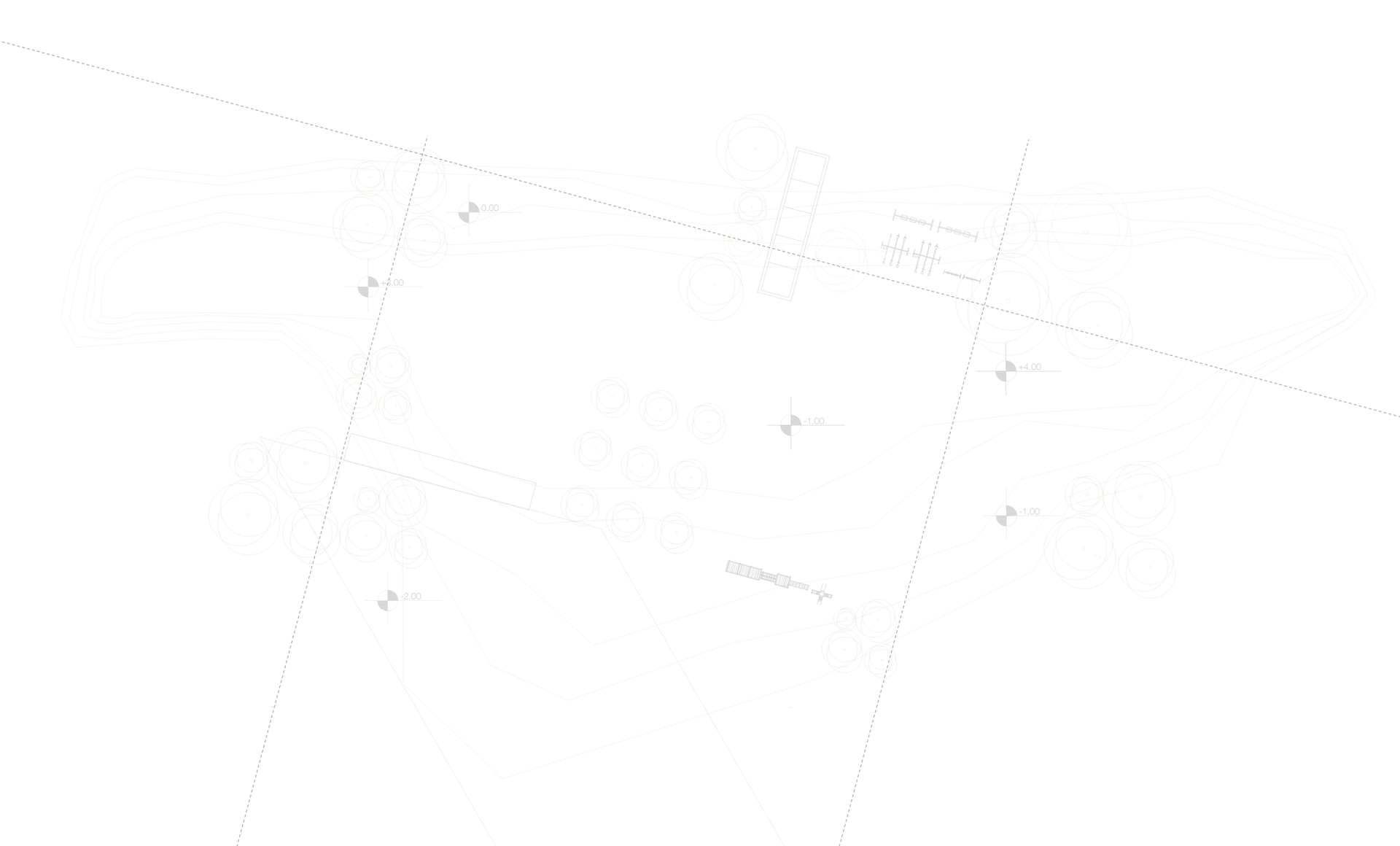
Project Facts
Energy Industrial Park (EIP) Location/Description
-
South of State Road 60 between N. Dover Road on the west, Turkey Creek Road on east and Durant Road on the south in Hillsborough County (Tampa MSA)
-
The 2,978 -+/- acre “Energy Industrial Park” (EIP) is located in eastern Hillsborough County within the Urban Service Area.
Ownership Entities
-
There are two separate and distinct neighboring ownership entities.
-
Approximately 1,223 +/- acres of the EIP owned by Turkey Creek Preserve, LLC. Turkey Creek Preserve is located south of State Road 60, east of Dover Road, north of the CSX railroad and west of Turkey Creek Road.
-
Turkey Creek Preserve is requesting a text amendment change (Hillsborough County CPA 23-15).
-
Approximately 1,755 +/-acres owned by University Energy Park, LLC. The property is located south of Highway 60 between Dover Road on the west and Turkey Creek on its eastern boundary.
-
University Energy Park, LLC has filed a separate Text Amendment (Hillsborough County CPA 24-06) to redevelop approximately 470 +/- acres to allow for an option to create a sustainable energy residential community.
Energy Industrial Park Land Use designation
-
In 2010, the Hillsborough County Board of County Commission (BOCC) unanimously approved a newly created Energy Industrial Park (EIP) land use category that included both the Turkey Creek Preserve and University Energy Park properties encompassing almost 3,000 acres.
-
Approved land uses include:
-
Industrial/Manufacturing/Warehousing/Distribution – 7,350,000 square feet of buildings (for comparison: equals 11 “Amalie Arenas” in Tampa)
-
Commercial / Office buildings
-
Helipad
-
Energy Research Facilities (approved for 24/7 operations)
-
Wireless Communication Facilities (approved for structures to be up to 300’ tall – same height as the Statue of Liberty)
-
Resource Recovery Facilities (where materials are reclaimed and converted into energy, generally by incineration)
-
Renewable Energy Projects (windmills, solar, biomass incineration, aquaculture, hydroponics, algae systems)
History
-
Formerly a phosphate mine from the 1930s through the 1950s.
-
In 2005, the current landowner, University Energy Park, LLC, purchased their 1,750 +/-acres from Waste Management, Inc. and went under contract along with the neighboring Turkey Creek property to Imperium, a development company in 2008. Imperium proposed creating an alternative energy production and employment center that included a bio-mass system.
-
Imperium was unable to secure the necessary contracts and ultimately defaulted on the property sale.
Alternative Energy Requirement
-
On June 16, 2022, the BOCC approved a Text Amendment Application filed in 2021 (Ordinance #22-14 approving CPA 21-21) which allows the developer the option to either install two forms of renewable energy at the prescribed outputs specified in the approved PD zoning or install/utilize one form of renewable energy at double the output prescribed. (Policy 59.1, Subsection #4)
-
The project intends to meet the required alternative energy requirements.
Project Vision (CPA 24-06)
-
CPA 24-06 has the potential of creating Hillsborough County’s first real sustainable, resilient single-family gated community in the Urban Service Area while providing appropriate buffering and a transition of densities to the areas to the west and south.
-
In keeping with the Goals, Objectives and Policies of the adopted EIP Land Use, CPA 24-06 is to allow the area south of the CSX rail line (approx. 470 acres) to integrate renewable energies (solar) and agricultural concepts into a master-planned resilient agri-hood community to be known as Dover Farms. www.doverfarmsliving.com
-
A required minimum density of 4 units per acre is proposed as required by the property’s inclusion within the Urban Service Area. This is similar to the density allowed to be considered in Residential – 4 (RES-4) Land Use category and allows for a variety of housing options such as single-family lots of different sizes, attached and semi-attached (townhomes and villas), up to two stories in height.
-
Multi-story apartments are not envisioned or requested.
-
The request is not for Section 8 or workforce housing.
-
While addressing just a small portion of the projected population growth and housing demands for the Valrico and East County inside the USA, the proposed residential request will provide a transition to the existing RES-4 and the more intensive RES-9 Land Use Categories to the west and from the RES-1 and RES-4 Land Uses located to the south. This request will also provide a transition with the more intensive industrial, office and commercial uses approved north of the CSX rail line.
-
The EIP originally envisioned incorporating an agricultural aspect within the project site, but also to allow the established agriculture community to the east to bring fuel source/waste for the biomass.
-
CPA 24-06 is proposing to integrate the agricultural concept by creating an “agri-hood”/urban farm component into the residential community. This will allow the residents to grow their own vegetables and fruits in a community garden, which could be opened up to the greater Valrico community with weekend farmers markets, and educational programs about the “farm to table” experience.
-
In contrast to the development of currently approved industrial alternative energy and commercial uses, surrounding property values will be positively impacted with home sales and new comps as a result of single-family construction in a gated community.
-
UEP is in preliminary discussions with TECO to partner on providing solar features for both the residential and the industrial/employment area to the north.
-
Solar concepts include powering the streetlights, common areas such as the Urban Farm and amenities
-
Opportunities for businesses and homeowners to install solar panels.
-
Potential for “solar trees” to allow for charging of personal devices in the common areas
-
Motion activated lighting
-
Integration of Smart Technology
-
How is this project different from the adjacent property owner, Turkey Creek Preserve, LLC., who is also requesting a text amendment?
-
There are actually two separate ownership entities pursuing different text amendments with the County. The properties share a boundary and an approved PD zoning.
-
University Energy Park, LLC (UEP) owns 1,755 acres +/-. The property is located south of Highway 60 between Dover Road on the west and Turkey Creek on its eastern boundary.
-
UEP filed a Text Amendment (Hillsborough County CPA 24-06) to redevelop approximately 470 +/- acres to allow the option of creating a sustainable energy residential project that combines the agri-hood concept of Angeline in Pasco County and the solar energy and resiliency of Babcock Ranch in Ft. Myers, FL.
-
The other text amendment application (Hillsborough County CPA 23-15) is for property owned by Turkey Creek Preserve, LLC. That amendment proposes to change the wording in the existing Future Land Use Element Policy 59.1 (#3 and #4) regarding what uses are allowed on the property designated Energy Industrial Park and when. Turkey Creek Preserve seeks to modify the language to permit consideration for up to 30% of the allowable commercial, office, industrial, research, manufacturing, institutional, warehousing and distribution uses be allowed prior to any renewable energy producing uses. The current adopted language requires renewable energy producing uses to be established before other uses.
-
Note: the outcome of Turkey Creek Preserve’s proposed text amendment will have no affect (approval or denial) upon the UEP Text Amendment.
What is a Text Amendment?
-
There are two types of Comprehensive Land Use Plan amendments: Text Amendments and Map Amendments. Text Amendments can modify, add or delete the text of the local government’s Comprehensive Plan.
Utility Access
-
The Energy Park is within Hillsborough County’s Urban Service Area, which means the site to be served by public water and sewer. EIP property is one of the last large tracts of land in the Urban Service Area that can be developed.
Traffic
-
While any future development whether already approved or proposed will have an impact on traffic, the options are the approved 24-hour industrial operation with fleets of large trucks slowing down traffic creating sound and odors all times of the day or less intense residential traffic with smaller vehicles with a limited number of trips at predictable peak times.
-
Residential, industrial, retail and employment will be accessed from SR 60 as shown on the approved PD Zoning Plan.
-
Single-family residential typically generates fewer trips than the current industrial zoning designations.
-
Primary access to the residential is anticipated to be from Dover Road, since crossing the active CSX rail line is not viable.
-
As part of the rezoning request, traffic consultants will meet with the County who ultimately determines what traffic improvements will be required.
-
Roundabout at Dover Road and Durant Road is already approved, funded and awaits construction by the County.
-
Hillsborough County’s Capital Improvement Program Project Fact Sheet (March 2024) states the project’s total cost estimate is $2,712,747 and anticipated completion date is early 2026. (Project Number: 69679043)
-
Project Description: Convert four-way stop intersection to a roundabout to improve mobility and safety for vehicles and pedestrians including updating sidewalks, specifically ADA ramps, curbing and pavement marking.
-
-
Industrial traffic north of the CSX railroad will exit the property at SR 60 at one of three exits approved by the County in 2010.
Buffers
-
Appropriate buffers and berms will meet or exceed County code.
-
Unsafe conditions of the old phosphate mine buffers surrounding the property will be addressed.
-
Existing berms were not constructed or engineered as a permanent feature and have naturally deteriorated with the decomposition of organic matter within the berms as well as from cattle, pigs and other wildlife use over the years and are now considered unstable.
Environmental
-
UEP created a 230-acre wetland preserve in the SW corner of the property north of the CSX railroad.
-
Wetland preserve is designated as established and will remain in perpetuity. A portion of this preserve area also creates a buffer along Turkey Creek from SR 60 to the CSX rail creating a wildlife passage corridor.
-
Wildlife/protected species: in 2012, there were 285 gopher tortoises relocated from the property to a certified offsite habitat at the landowner’s expense. Any remaining gopher tortoises will also be relocated. No other species of concern have been identified. Follow up protected species surveying will be implemented throughout the permitting process.
-
Hillsborough County utilized a relatively small portion of the mined phosphate pits from 1970 – 1980 to dispose of waste oils and septic waste. The site was eventually designated as a Superfund site by the Federal Environmental Protection Agency (EPA) in approximately June 1986.
-
The site has been actively treated and mitigated by Hillsborough County and the EPA. Though the Superfund area was only 9.5 acres, the EPA identified a restricted total area of 56.4 acres (which includes the 9.5 acres) of the 1,700 +/- acres. This restriction limits the types of uses that can be developed within the 56.4 acres.
-
Since the property and the surrounding area are located within Hillsborough County’s “Urban Service Area,” any development within the EIP will utilize County water and sanitary sewer service. This requirement is also noted on the approved PD Zoning site plan.
-
Groundwater has been monitored within the site as early as the 1980’s.
-
Hillsborough County reached a settlement agreement with the EPA in 2004. To keep abreast of the water quality, 31 monitoring wells were installed in 2004 and are maintained by Hillsborough County. As part of this agreement, semi-annual water sampling has taken place since that time.
-
Laboratory analytical data generated from the October 2023 monitoring continue to exhibit a slight downward trend indicating a stable and non-migrating groundwater plume.
-
In addition, a 5-year review of the site is required and there have been five reviews to-date. The latest EPA review was conducted in March 2021 where it was determined that the remedy at the site remains protective and effective.
-
In recent years, the Environmental Protection Agency (EPA) has added 1-4 Dioxane to the watch list for drinking water. The EPA continues to monitor the presence of 1-4 Dioxane in the groundwater at the former Sydney Mine – Hillsborough County Waste Disposal Site.
-
The residential area proposed in the 24-06 Text Amendment is situated farther away than any existing residential area in the vicinity.
-
View and Download Project Information and Visuals Here
Hillsborough County Superfund Facts
Dover Farms Living
Frequently Asked Questions
What is a Superfund site?
A Superfund site is a location contaminated by hazardous waste that has been designated by the U.S. Environmental Protection Agency (EPA) for management and cleanup.
Why is a small portion of the property designated as a County Superfund site?
Hillsborough County utilized a relatively small portion of the Sydney Mine phosphate pits from 1970 – 1980 to dispose of waste oils and septic waste. As a result of this activity, an area of 9.5 acres was eventually designated as a Superfund site by the Federal Environmental Protection Agency (EPA) in approximately June 1986.
The County Superfund area accounts for less than one half percent of the total property.
Who is responsible for monitoring the County Superfund site?
All responsibilities associated with monitoring the County Superfund site are held by the EPA and Hillsborough County Public Utilities Department.
The EPA conducts a Five-Year Review (FYR) of the Superfund site inspecting the 31 monitoring wells at the site. The latest review was conducted in March 2021 where it was determined that the remedy at the site remains protective and effective.
Has the site been cleaned up?
Yes, the site has been actively treated and mitigated by Hillsborough County and the EPA. Though the County Superfund area was only 9.5 acres, the EPA identified a restricted total area of 56.4 acres (which includes the 9.5 acres) of the 1,700 +/- acres. This restriction limits the types of uses that can be developed within the 56.4 acres. Hillsborough County continues to comply with all EPA requirements.
What are the plans for this part of the property?
The landowner is exploring uses, with the help of the EPA, including the possibility of placing solar panels over the Superfund area which is an allowed “beneficial reuse.” This approach has been successfully used elsewhere in the country.
What is the distance from the proposed residential?
The residential area proposed in the 24-06 Text Amendment is situated farther away than any existing residential area in the vicinity.
How do we know the groundwater is safe?
Since the property and the surrounding area are located within Hillsborough County’s “Urban Service Area,” any development within the EIP will utilize County water and
sanitary sewer service. This requirement is also noted on the approved PD Zoning site plan.
Continuous monitoring: groundwater continues to be monitored within the site and has been since the early 1980s. Hillsborough County reached a settlement agreement with the EPA in 2004. As part of this agreement, 31 monitoring wells were installed and are maintained by Hillsborough County with semi-annual water sampling required.
In addition, the EPA conducts a Five-Year Review (FYR) 5-year review of the County’s site inspecting the 31 monitoring wells at the site. The latest EPA review was conducted in March 2021 where it was determined that the remedy at the site remains protective and effective.
Laboratory analytical data generated from the October 2023 Hillsborough County monitoring event indicate minor benzene and vinyl chloride impacts to the groundwater from the former waste oil disposal activities. Benzene and vinyl chloride concentrations continue to exhibit a slight downward trend indicating a stable and non-migrating groundwater plume for these constituents.
In addition, the landowner recently voluntarily sampled the top three feet of the 56.4-acre Superfund area and samples showed no signs of contamination. These results were submitted to the EPA, FDEP and Hillsborough County.
In recent years, the EPA added 1-4 Dioxane to the watch list for drinking water. The EPA continues to monitor the presence of 1-4 Dioxane in the groundwater.